
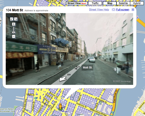
 Those of you searching for directions using Google Maps in major cities across the US can get real-life images from the ground.
Next to the “Map-Satellite-Hybrid”options at the top of any Google map you can see what San Francisco actually looks like.
[via Lifehacker]

")
")


Privacy concerns: http://www.nytimes.com/2007/06/01/technology/01private.html